This page brings together everything I learned while walking the East Highland Way in July 2026. I wild camped the entire route and carried all my own equipment. Rather than being a complete guide, these notes are based on my own experience and are intended to help others planning this remarkable trail.
| East Highland Way at a Glance | What to expect |
|---|---|
| Location | Scottish Highlands, Scotland |
| Distance | 137 km |
| Start | Fort William |
| Finish | Aviemore |
| Duration | 5–7 days |
| Difficulty | Moderate to challenging |
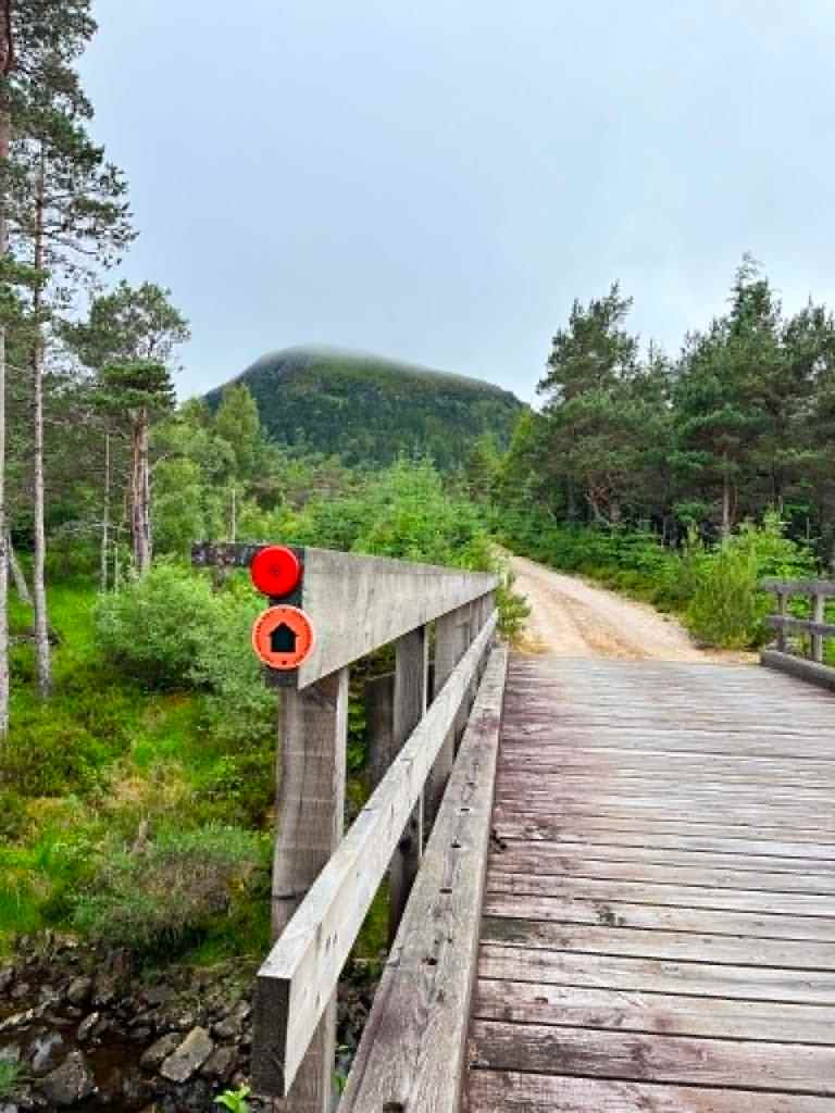
| Waymarking | Sparse in places; navigation recommended |
| Camping | Wild camping possible along most of the route, with limited official campsites |
| Accommodation | Fort William, Spean Bridge, Fersit, Laggan and Aviemore |
| Water | Frequent natural water sources; a water filter is recommended |
| Food Resupply | Fort William, Spean Bridge (limited), Newtonmore, Kingussie and Aviemore |
| When I Walked It | July 2026 |
Jump to

137 km uphill: 1,780 downhill: 1,580m
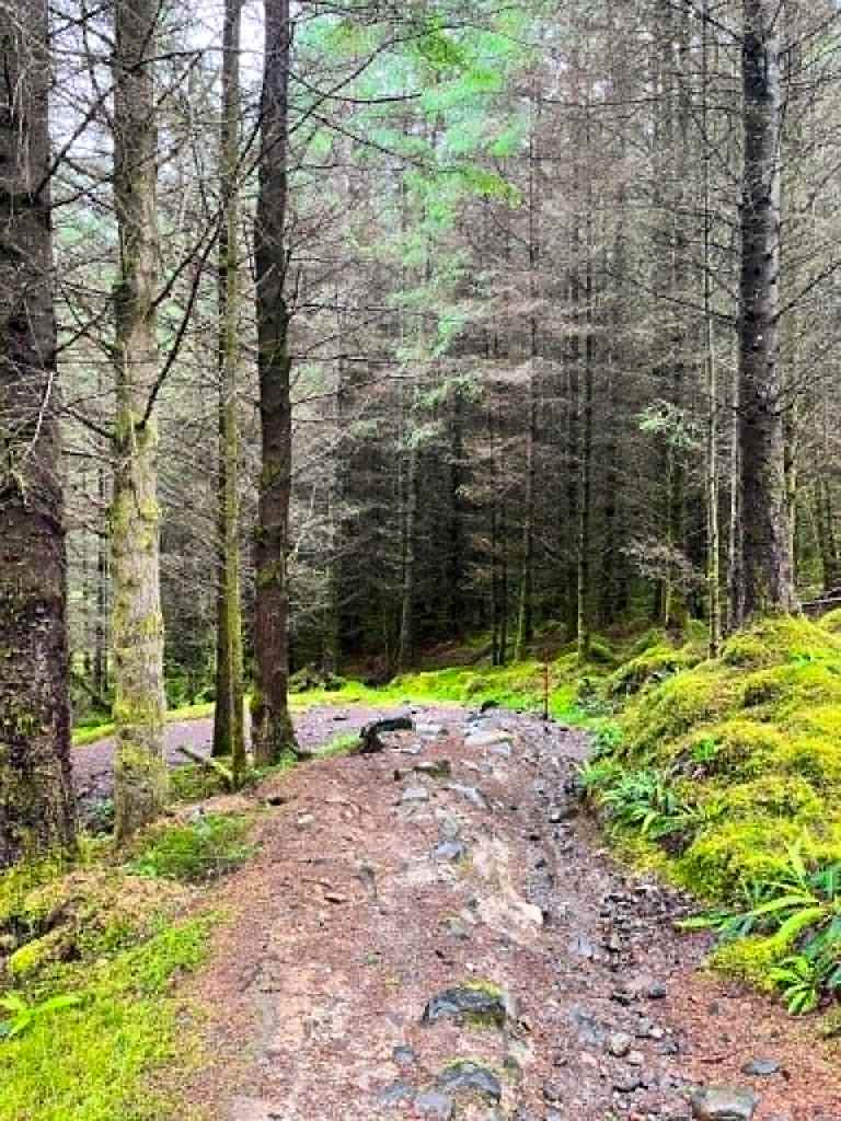
East Highland Way is 137km long-distance hike, mostly on wooden paths which connect west coast (Fort William) with National Park in the East – Cairngorms (Aviemore). This is not an official long-distance hike, yet many people choose to walk it as it offers a beauty of Highlands despite mostly following forest tracks and much quieter solitary remote atmosphere then West Highland Way.
You can find map and each stage on Walking Highlands website
You can find map on Komoot app, which I have used to navigate – works offline as well (better with paid version)

ITINERARY
I almost completed the trail over 8 days. I had to stop in Newtonmore which was 2 days before reaching Aviemore due to gear damage. Distances are approximate and reflect my own route (last two days reflect distances from Walking Highlands). I have wildcamped the entire journey – only last night in Aviemore I stayed in a campsite.
INTRODUCTION – Before the First Step
Leaving home, sitting on the train, and why I chose East Highland Way.
DAY 1 – Fort William -> Spean Bridge (12.4miles / 20km)
The first miles, finding my rhythm, bad weather and beginning of solitude.
Wild camping – Forest close to Spean Bridge
DAY 2 – Spean Bridge -> Inverlain (10.64miles / 17km)
Wild camping – Once passed Inverlain over the bridge by the stream
DAY3 – Inverlain -> Loch Laggan (10.7miles / 17km)
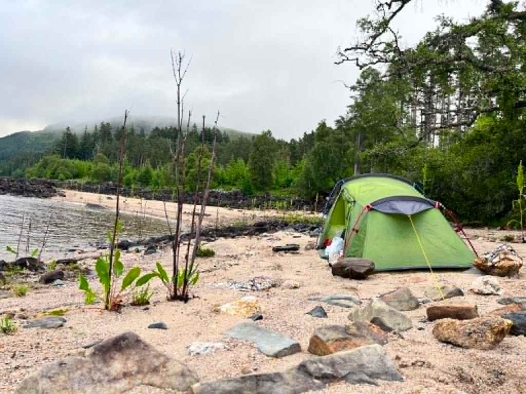
Wild camping – on the beach by the Loch (various options)
DAY 4 – Loch Laggan -> Feagour (12miles / 19km)
Wild camping – forest by the path (very uncomfortable – don’t recommend).
DAY 5 – Somewhere between Feagour and Laggan -> Dalnashallag Bothy (9.94miles / 16km)
Wild camping – outside by the Bothy.
DAY 6 Bothy -> Newtonmore (6.4miles / 10.3km)
Took train to Aviemore due to broken tent pole.
DAY 7 Newtonmore -> Kincraig (14.75miles / 23.75km)
Haven’t walked the section.
DAY 8 Kincraig -> Aviemore (10.3 miles / 16.5km)
Camping in Rothiemurchus Campsite.

GEAR
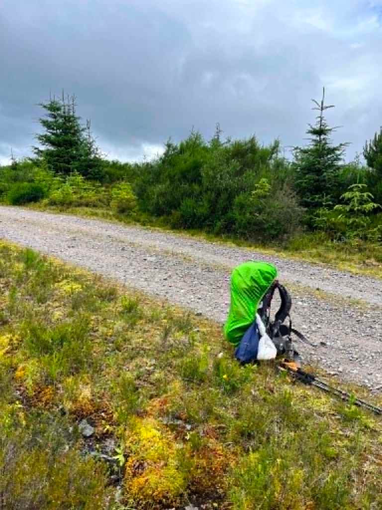
I carried approximately 18 kg at the start of the journey, including food and water. This was the heaviest backpack I have ever carried, largely because I packed enough food for at least five days through the remote central section of the East Highland Way.
Overall, I was happy with my gear choices, although there are a few things I would change next time.
Backpack
- Osprey backpack 65L women edition (18 kg starting weight)
Shelter
- Lightweight tent Terra Nova for one person (the tent pole unfortunately snapped during the journey, forcing me to finish the hike earlier than planned – the tent had its years of use).
Sleep system
- Sleeping bag
- Sleeping mat
Water
- 0.5 L filter bottle
- 0.7 L water bottle
- 0.45 L water bottle
- 0.4 L collapsible running bottle (never needed to use it)
Total water capacity: 2.05 L
Navigation
- Komoot
- Paper map (if carried)
- Garmin watch
The route is really badly marked and there are many sections where you need good navigation. I felt as paper map was not detailed enough to navigate well every route dividing section. I have found using Komoot (paid version for offline maps) very useful.
Cooking
- Lightweight camping stove
- Small gas canister
- Pot and Pan
- Spork
- Fero rod (fire steel)
Clothing
- Waterproof jacket
- Trousers
- Waterproof over trousers
- Termo t-shirt and leggins for sleeping
- Spare base layer
- T-shirts (3 to rotate)
- Extra vest
- Trail shoes
- Waterproof socks (2 pairs)
- Socks and underwear
Camera equipment
- iPhone
- DJI drone (this was the first hike where I was finally able to capture drone footage.)
What worked well
- Carrying enough food from the start meant I never worried about supplies.
- My water filter worked perfectly and allowed me to refill almost anywhere.
- The drone was well worth carrying for the footage it captured.
- I used all clothing I have carried which kept me warm
- carrying some duct tape really helps if something snaps
What I would change next time
- Carry less food (or choose foods with a better weight-to-calorie ratio).
- Leave the collapsible bottle at home.
- Consider ways to reduce overall pack weight without sacrificing safety.
- Carrying tent splints – I fixed first snapp with one, but had none for the second snap
- I’d carry small sun cream as I got really burnt

My East Highland Way Packing List (coming soon)
Food
Shelter
Sleep system
Clothing
Cooking
Water
Navigation
Camera gear
First aid

ACCOMODATION & CAMPING
I wild camped the entire East Highland Way, so the information below combines my own experience with research before the hike and information I gathered from people I met along the way.
Please note: Accommodation and campsite availability can change. Always check directly with providers before your trip.
⚠ Good to know
There is currently no campsite in Newtonmore.
Fort William to Spean Bridge
- Fort William offers plenty of accommodation, including hotels, hostels and B&Bs.
- Glen Nevis Campsite is a good option before starting the route (a short detour from the East Highland Way).
- Spean Bridge Campsite is the last official campsite before the remote central section of the trail.
Spean Bridge to Laggan
This is the most remote section of the East Highland Way.
- Around km 40, I passed Fersit Log Cottage, which offers accommodation.
- After this point, there are very few facilities until Laggan Village.
Wild camping
I camped:
- on the beach beside Loch Laggan (several excellent spots)
- between Feagour and Laggan (not easy to find a camping spot)
The section after Feagour was the only place where I genuinely struggled to find a suitable camping spot. The commercial forest on the left was difficult to access because of fallen trees and steep rocky ground, while the newly planted forest on the right offered almost no clear, level areas for pitching a tent.
Laggan Village
The Laggan Community Hall offers simple self-catering accommodation where walkers sleep on mats using their own sleeping bags. Facilities include:
- kitchen
- common room
- showers
- toilets
Just beyond Laggan, you’ll pass Laggan Glamping & Caravan/Motorhome Site. Although it’s close to the trail, it does not accept tent campers.
💡 My tip – Don’t rely on Laggan Glamping if you’re carrying a tent—it doesn’t accept tent campers.
Dalnashallag Bothy
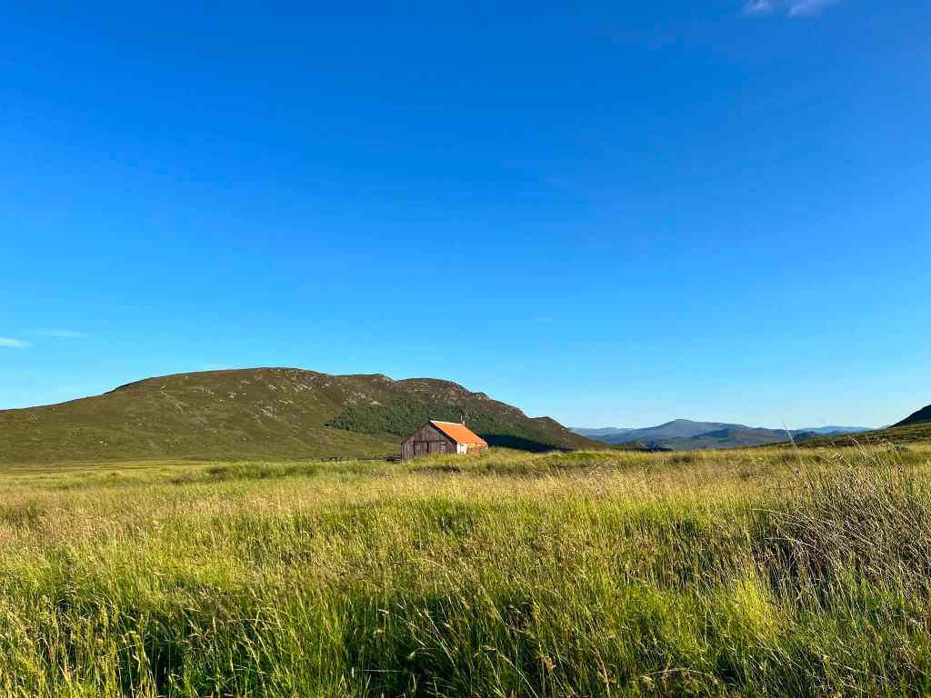
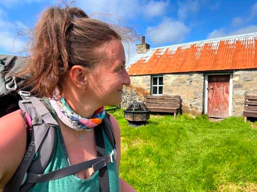
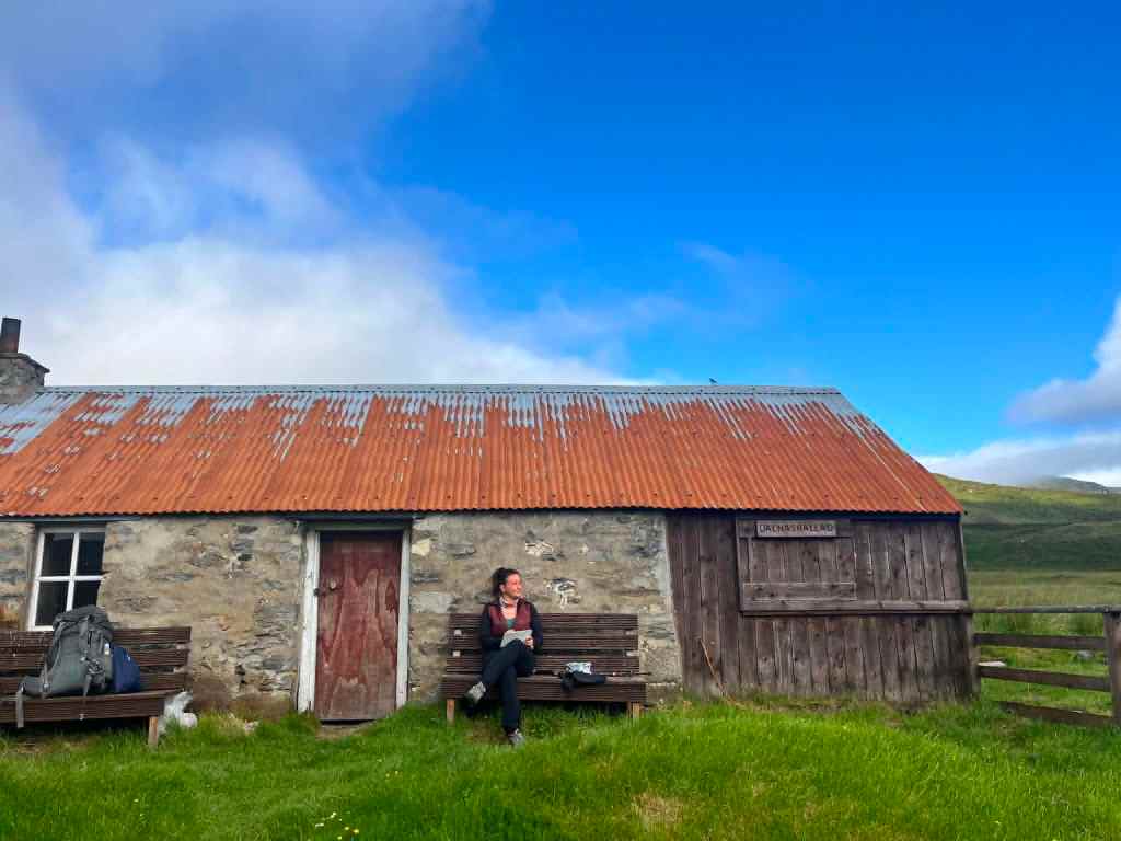
Dalnashallag Bothy, in Glen Banchor, is a good place to stop if you’re wild camping nearby.
The bothy isn’t intended as overnight accommodation but rather as a shelter with sofas and a fireplace. However, there are several excellent grassy pitches around it.
When I visited in July 2026, I had the bothy entirely to myself. Judging by the logbook, it was very quiet—the previous entry before a cyclist on the same day was five days earlier.
Newtonmore
There is no campsite in Newtonmore. The former campsite has permanently closed.
If you’re following the lower route instead of visiting Dalnashallag Bothy, Invernahavon Caravan Park is located directly on the route.
Aviemore
About one mile beyond Rothiemurchus Centre, Rothiemurchus Campsite sits within beautiful ancient Caledonian pine woodland and is the closest campsite to the end of the East Highland Way.
Aviemore also offers plenty of hotels, guesthouses and hostels, while another campsite can be found near Loch Morlich.

FOOD & WATER
I carried five days’ worth of food from the start of the walk in Fort William. In reality, it was enough to last me seven days, although by the end I was wishing I’d packed fresh bread instead of brioche, which became quite stale.
Food resupply
Food can be purchased at the following locations:
- Fort William – several supermarkets and outdoor shops. This is the best place to buy supplies before setting off.
- Spean Bridge – a small local shop. I chose not to rely on it, as I wasn’t sure what hiking food would be available and wanted to avoid carrying heavier items such as canned food.
- Laggan Village – the café may have a small selection of snacks or supplies, but I wouldn’t rely on it for a full resupply.
- Newtonmore – Co-op supermarket.
- Kingussie – supermarkets and local shops.
- Aviemore – several supermarkets, cafés and restaurants.
💡 My tip: Fill your water before leaving the hills above Feagour if you intend to camp before Laggan.
Water
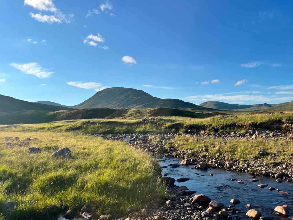
Natural water sources are plentiful along most of the East Highland Way. Streams, rivers and lochs are frequent, so carrying a water filter makes it easy to refill throughout the journey.
The only section where I struggled to find water was between Feagour and Laggan. If you’re planning to camp in this area, I recommend filling your bottles before leaving the higher ground.
There is a river crossing just before reaching Feagour, but it is fenced off and I couldn’t access the water from the trail.
Apart from this section, I never had difficulty finding water during the walk.
My setup: I carried a total water capacity of 2.05 litres (0.5 L filter bottle, 0.7 L bottle, 0.45 L bottle and a 0.4 L collapsible running bottle). In practice, I never needed the collapsible bottle, so I was comfortably hiking with 1.65 litres of water capacity for almost the entire route.
GALLERY